Drone Survey
Featured
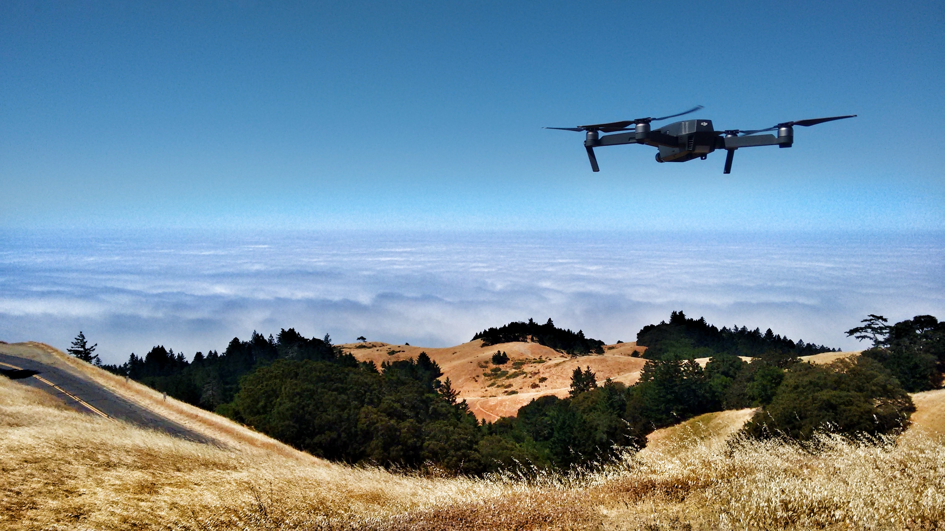
Drone surveying is a rapidly growing field that uses unmanned aerial vehicles (UAVs) to collect data about the Earth\\\\\\\'s surface. This data can be used for a variety of purposes, including:
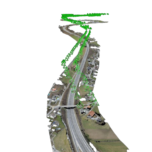
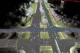
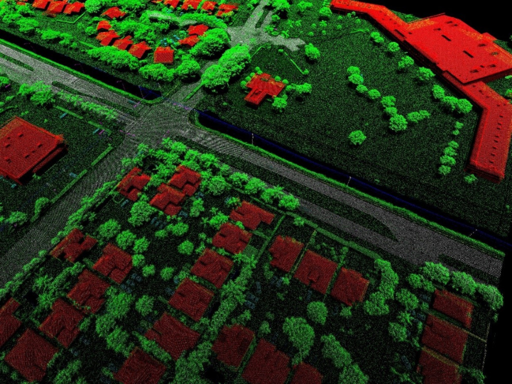
1. Surveying and mapping: Drones can be used to create accurate 2D and 3D maps of the environment. These maps can be used for a variety of purposes, such as planning infrastructure projects, managing natural resources, and monitoring environmental change. 2. Construction: Drones can be used to inspect construction sites, identify potential problems, and track progress. 3. Agriculture: Drones can be used to survey crops, monitor irrigation systems, and assess crop health. 4. Natural resource management: Drones can be used to map forests, wetlands, and other natural resources. This data can be used to monitor environmental change, assess resource sustainability, and plan conservation efforts. 5. Security and defense: Drones can be used to survey security-sensitive areas, identify potential threats, and conduct surveillance. Features of Drone Surveying Drone surveying offers a number of advantages over traditional surveying methods, including: 1. Accuracy: Drones can collect very accurate data, with accuracies of up to a few centimeters. 2. Speed: Drones can survey large areas quickly and efficiently. 3. Flexibility: Drones can be used in a variety of environments, including urban, rural, and even underwater. 4. Cost-effectiveness: Drone surveying can be a cost-effective option for large-scale projects.
Infrastructure
Infrastructure Used in Drone Surveying
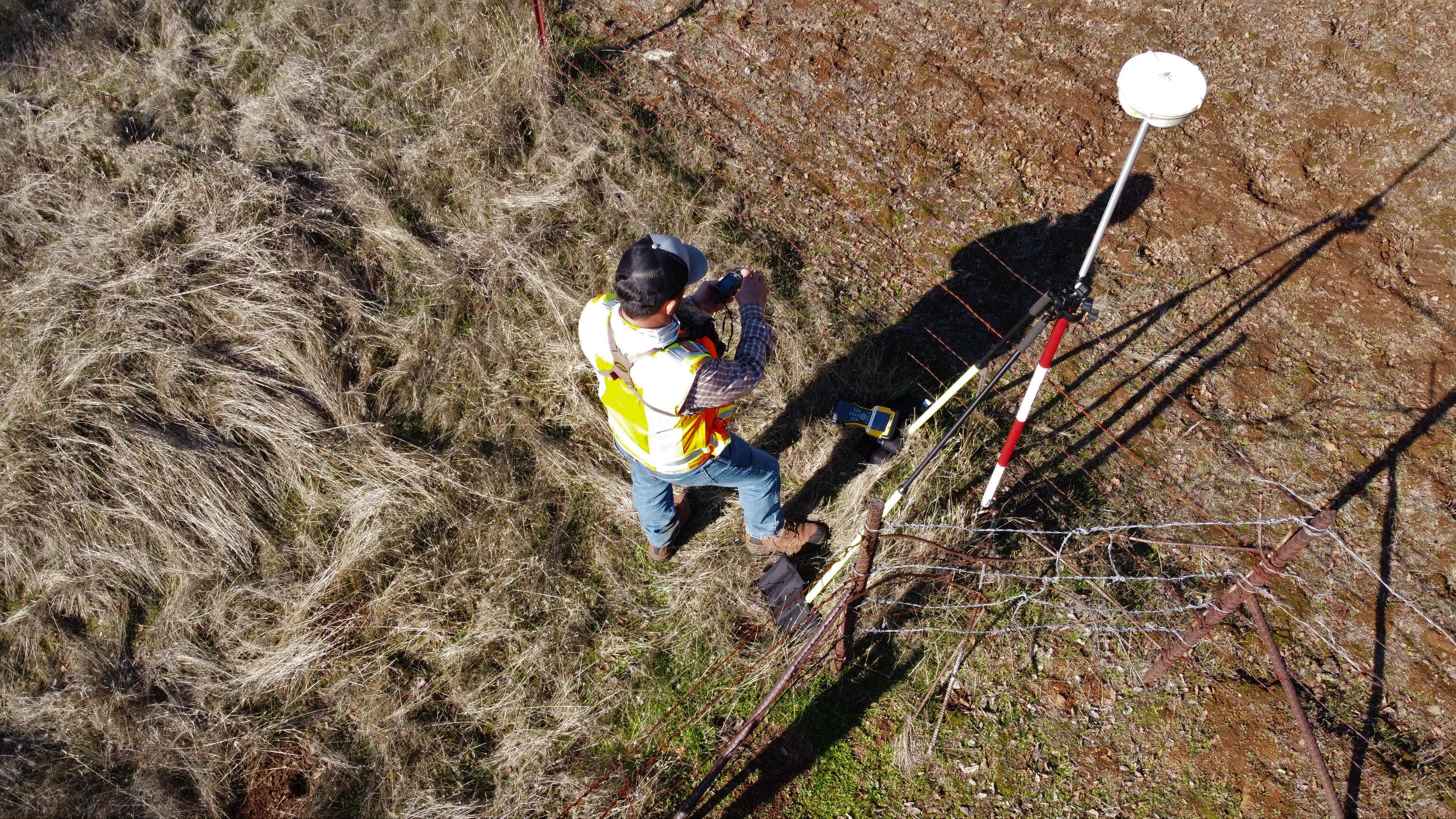
The infrastructure used in drone surveying typically includes: 1. A drone: 2. A camera: 3. A GPS receiver: 4. An IMU (Inertial Measurement Unit): 5. A computer