DGPS Survey
Featured
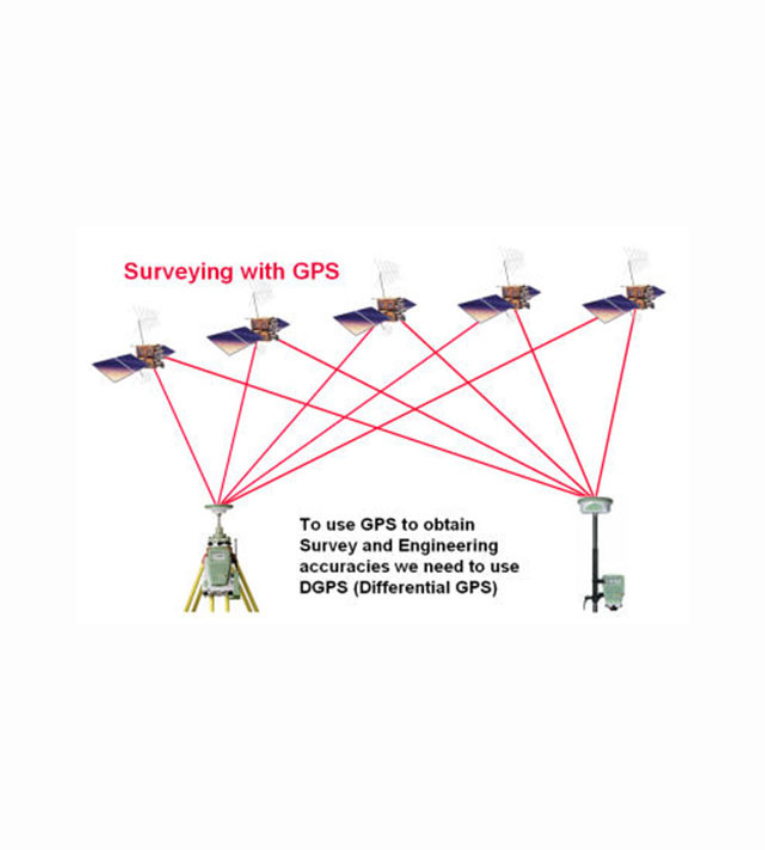
DGPS, or Differential Global Positioning System, is a system that uses a network of ground-based reference stations to improve the accuracy of GPS data. This is done by broadcasting the difference between the known position of the reference station and its GPS-derived position. This information can then be used to correct the GPS data of a mobile receiver, thereby improving its accuracy.
Features of DGPS Survey 1. Accuracy: DGPS can improve the accuracy of GPS data by up to a factor of 100, from the typical 15 meters to 1-3 centimeters. This makes it ideal for applications where precise measurements are required, such as surveying, mapping, and construction. 2. Speed: DGPS surveys can be completed quickly, often in a matter of days or even hours. This makes it a cost-effective option for large-scale projects. 3. Flexibility: DGPS can be used in a variety of environments, including urban, rural, and even underwater. This makes it a versatile tool for a wide range of applications.
Infrastructure
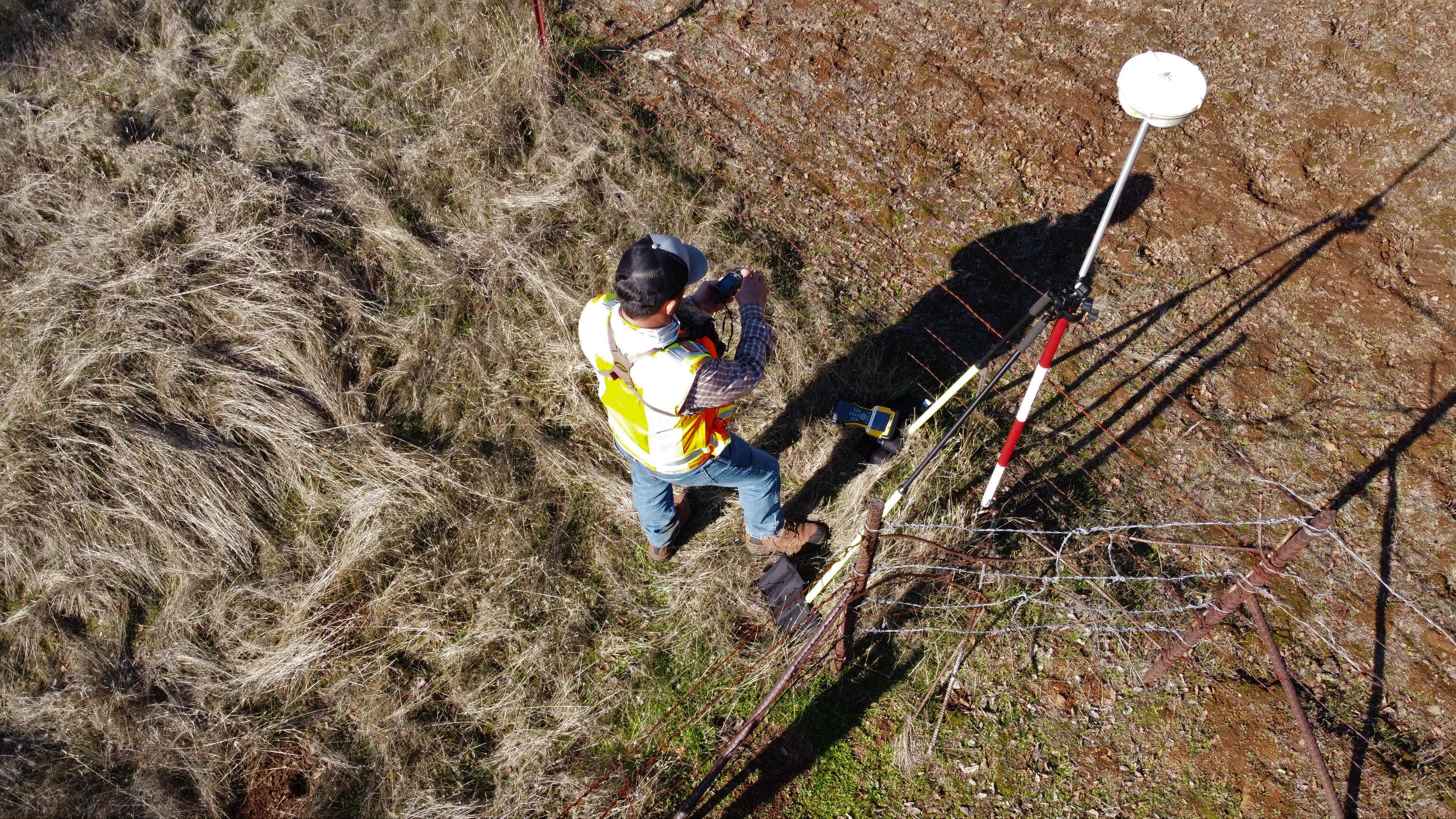
The infrastructure used in DGPS survey typically includes: 1. A reference station: 2. A base station 3. A mobile receiver
DGPS survey is used in a wide variety of applications, including: 1. Surveying and mapping: 2. Construction 3. Agriculture 4. Natural resource management 5. Security and defense